8 daysDuration
Private TourPrivate experience, no group joining
20 peopleMaximum group size
18 - 99 yearsAge range for participants
EnglishGuide language
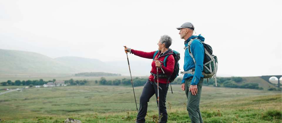
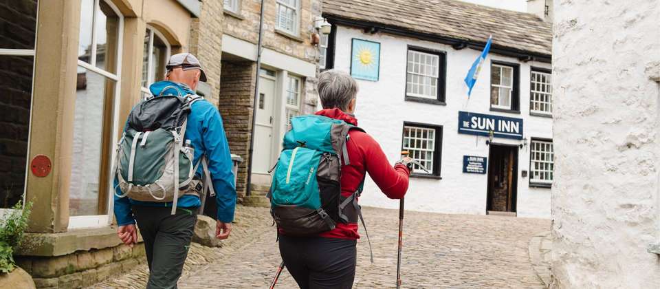
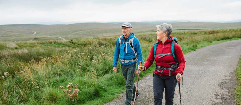
Moderate
Involves sustained activity requiring a reasonable level of fitness and endurance.Do you need help from our trip consultants?
If you have any question about this tour or need help with planning a trip, please do not hesitate to get in touch with us.
Our travel experts are ready to help.


Why Book with Bookmundi
No credit card or booking fees.
Best price guaranteed.
Carbon neutral tours.Algorithms and machine learning enables Bookmundi to calculate the carbon footprint for each tour. We then subsequently offset carbon emissions for all tour bookings on Bookmundi via investments in carbon reduction projects to help combat climate change.
25,000+ trip reviews, with an average rating of 4.8 out of 5.