
Alice Springs to Uluru: An Itinerary
Overview
In this article
Quick Facts
| Total distance: | 468 kilometers |
| Start/end location: | Alice Springs and Kings Canyon |
| Best time to visit: | The southern hemisphere autumn months of April to June offers the best weather. September is another good time to visit, but also the most popular month with both domestic and international visitors. Summers in the desert landscapes of Alice Springs and Uluru are dry and very hot, with temperatures hitting 40°C. While dry, the winter months can be surprisingly cold, with nighttime minimums recorded at -7°C. |

See also:
Recommended Itinerary
Day 1: Alice Springs to Uluru Rock
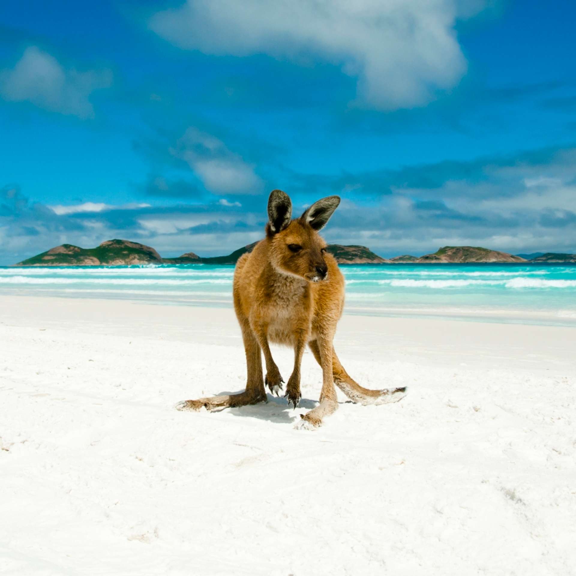
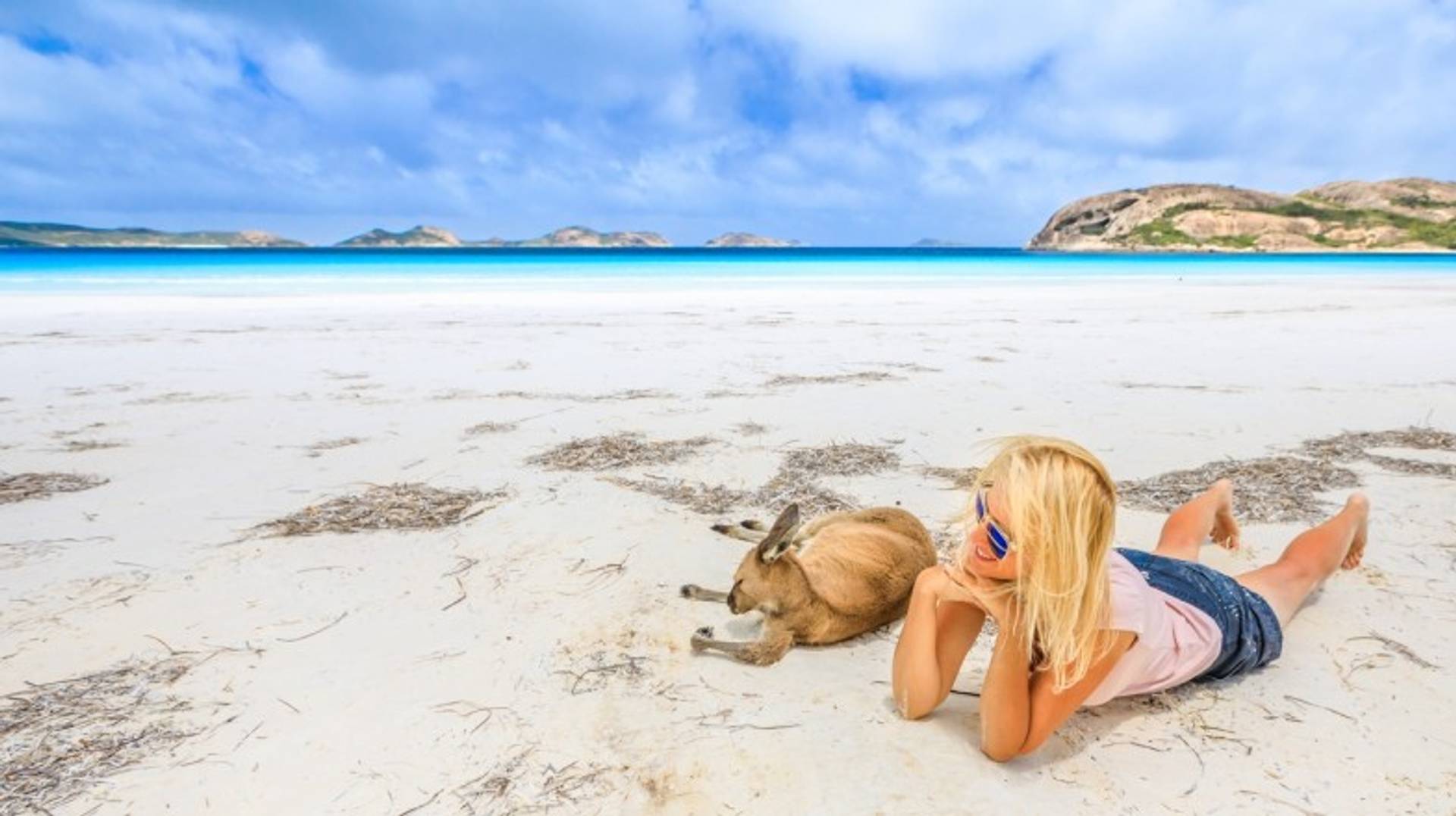
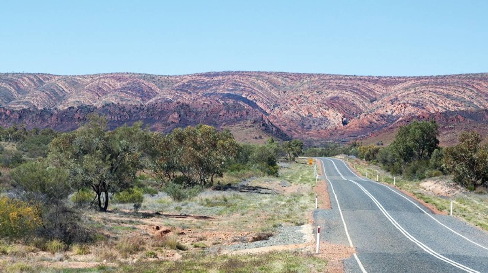
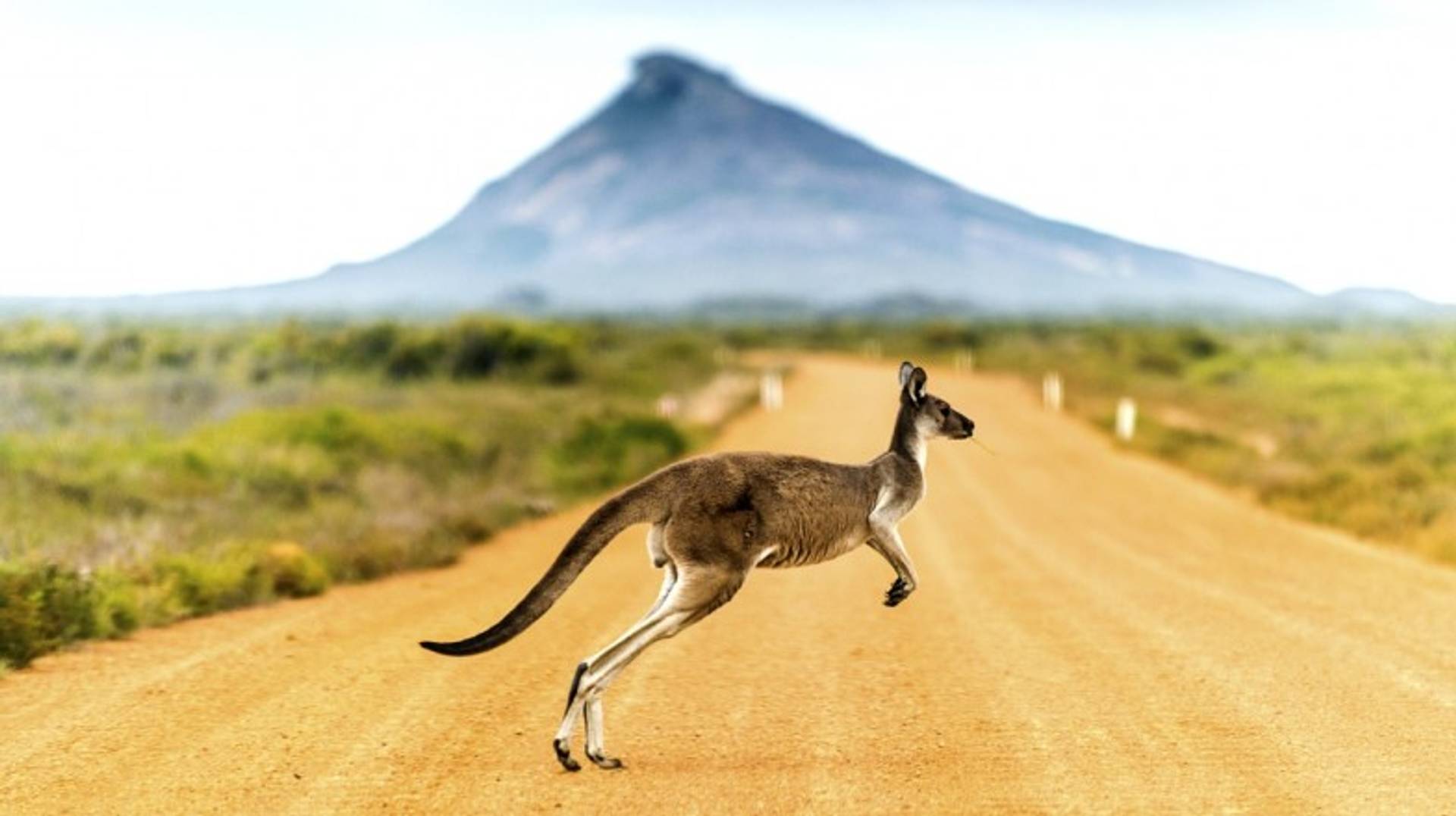
The sealed bitumen of the Stuart and Lasseter Highways are not only the quickest means of reaching Uluru Kata-Tjuta National Park from Alice Springs, but also a stress-free way of ensuring you won’t get stuck in sand traps or bogged down by a sudden downpour. Throughout the journey take your time to enjoy the outback experience, and keep an eye out for some of the area’s native wildlife, which includes wallaby, kangaroo and emu.

Around 65 km after setting off you’ll reach the little known Owen Springs Reserve, full of Aboriginal rock art sites. Then continue on to a lovely rest spot overlooking the often empty bed of the Finke River. The Stuart and Lasseter Highways meet at Erldunda Roadhouse, the last place you’ll have guaranteed mobile phone reception before reaching Uluru. Check out the Aboriginal art and artefacts made locally at Mount Ebenezer Roadhouse (owned and run by the local community of Imanpa aborigines) a further 50 km along the highway.
Uluru is then another 200 km along the highway. As you get closer you’ll see the flat-topped Mount Conner first, which many mistake for Uluru, a sacred mountain associated with the dreamings or songlines that run across the country according to aboriginal folklore. You’ll of course get your very first up-close views of the world’s largest sandstone monolith, and should you be up for it, you could even head out into Uluru-Kata Tjuta National Park before nightfall for some birdwatching or a bushwalk, but we think you’ll want to get to bed early for the main event tomorrow.

Day 2: Spend a day at Uluru Rock
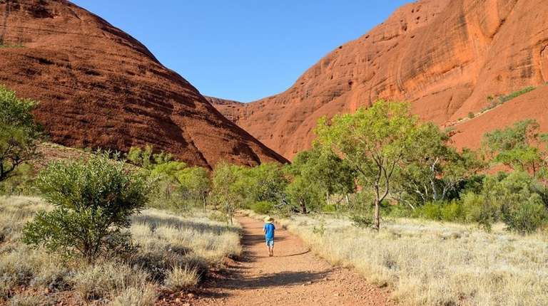
Day 3: Uluru Rock to Kings Canyon

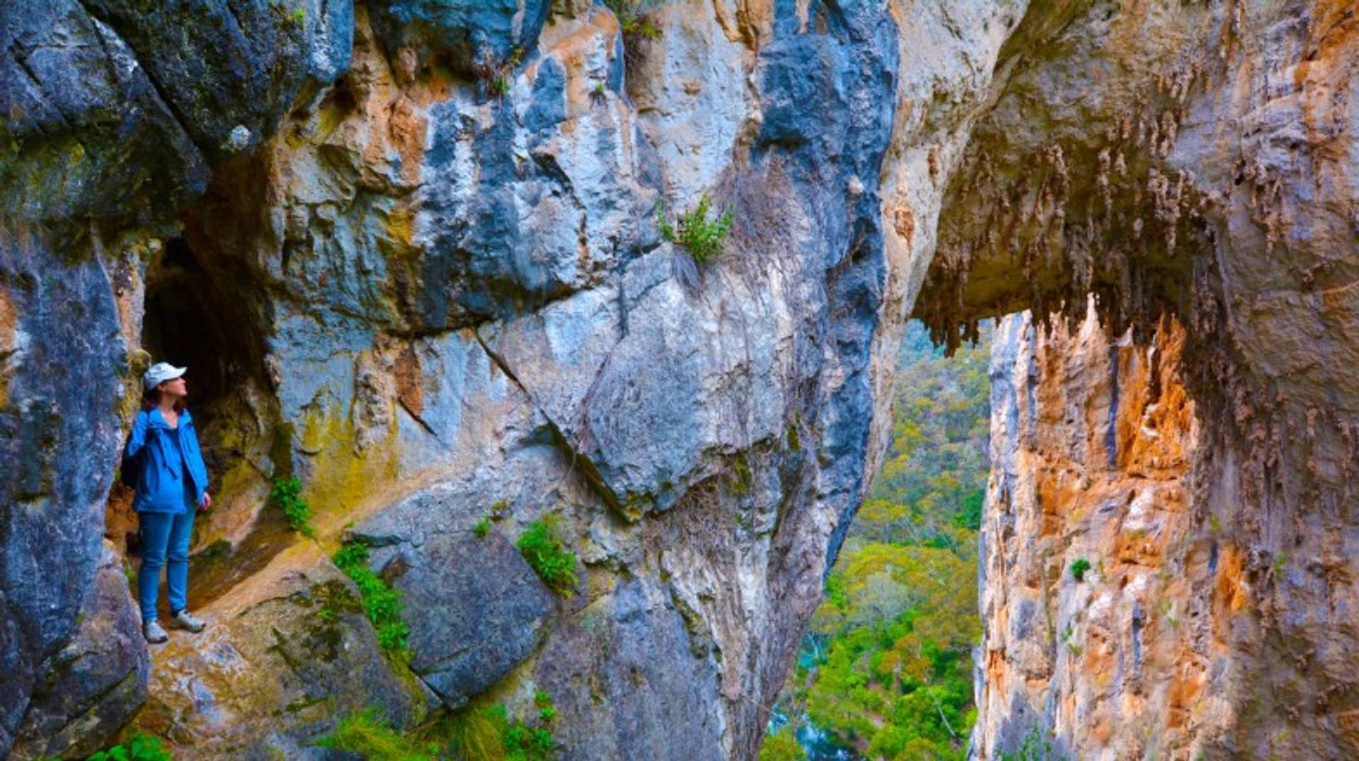
As you depart Uluru’s great bulk and head for Kings Canyon (also known as Watarrka), keep your camera close at hand. You’ll need it to capture the beauty of the gorges, sandstone walls and valley floors the canyon encompasses. To make the most of the day you’ll want to also have a good pair of walking shoes to hand too.
The best landscapes come with treks to formations known as the Amphitheatre, Lost City, and North and South Walls, a walk that has a total time of roughly three hours in duration. The lush vegetation of the area called the Garden of Eden is the perfect place for a rest and a picnic before rejoining the highway for your return trip to Alice Springs. Good places to stop include Curtin Springs Station 80 km away, offering panoramic views of Mount Conner, and the Desert Oaks Rest Area. 150 km from Alice, it’s set among sand dunes and desert oaks. It’s also close to the turn off with Ernest Giles Road, where you’ll find the Henbury Meteorite Craters, your last stop before reaching Alice.
Additional Destinations to Visit
You can make the most of this trip by considering extending your time to include these additional destination suggestions.


Coober Pedy: The shocking heat of summer has pushed much of the opal capital of the world underground. Visit residences known as ‘dugouts’, cafes, churches, and even a bookstore all beneath ground. To get there it’s a simple drive south along the Stuart Highway for roughly half a day’s drive (700 km) from Alice Springs. From Uluru, you’ll want to turn right instead of left when you rejoin the Stuart Highway.
West MacDonnell Ranges: You won’t believe the Aussie outback can be so full of color or variation unless you visit these hills. On foot is the best way to explore the waterholes, gorges, flora and fauna of this outstanding area of natural beauty, although many choose to cycle from Alice, which is just 17 km from Simpson’s Gap.
Flinders Ranges: Further afield, the Flinders Ranges lie across the state boundary in South Australia, a massive 1,500 km from Uluru. Just keep on the same road from Coober Pedy and follow the signs south. An area of vast open expanses, it’s a great place to take in the clean outback air or follow the many hiking trails on a bushwalk. At the ranges heart is Wilpena Pound, a magnificent amphitheater of mountains that really shouldn’t be missed.
Good to Know
Written by


Continue reading Related Guides


Create your custom-made trip to Australia
Traveling to Australia? Chat with a local travel specialist who can help organize your trip.
 Geoff VenningTravel Expert in Australia & New Zealand
 David TupperTravel Expert in Australia & New Zealand
 Cameron KangarooTravel Expert in Australia


Why Book with Bookmundi?
A strict screening process ensures that we only offer high quality, vetted tours and trip packages globally. The result? 4.8 of 5 stars out of more than 25,000 trip ratings.
In most cases, we offer THE best prices. And, you get a Best Price Guarantee for all tours, as long as you redeem it within 24 hours of purchase.Tour prices can vary over time, which is why our Best Price Guarantee is valid for 24 hours—we can only ensure you the lowest price on a daily basis.
Read why
All tours booked through Bookmundi are 100% carbon offset. Every quarter, we invest in carbon reduction projects around the world—at no extra cost to you.
Read how