
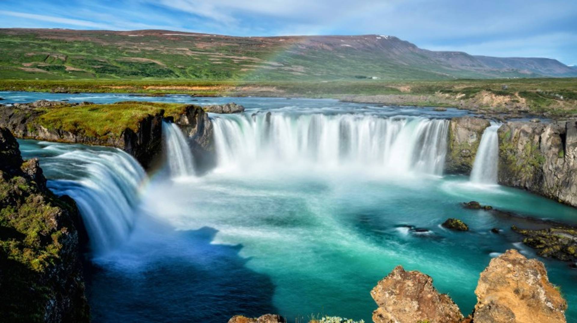
Landmannalaugar in Iceland: Top 6 Hiking Trails
Overview
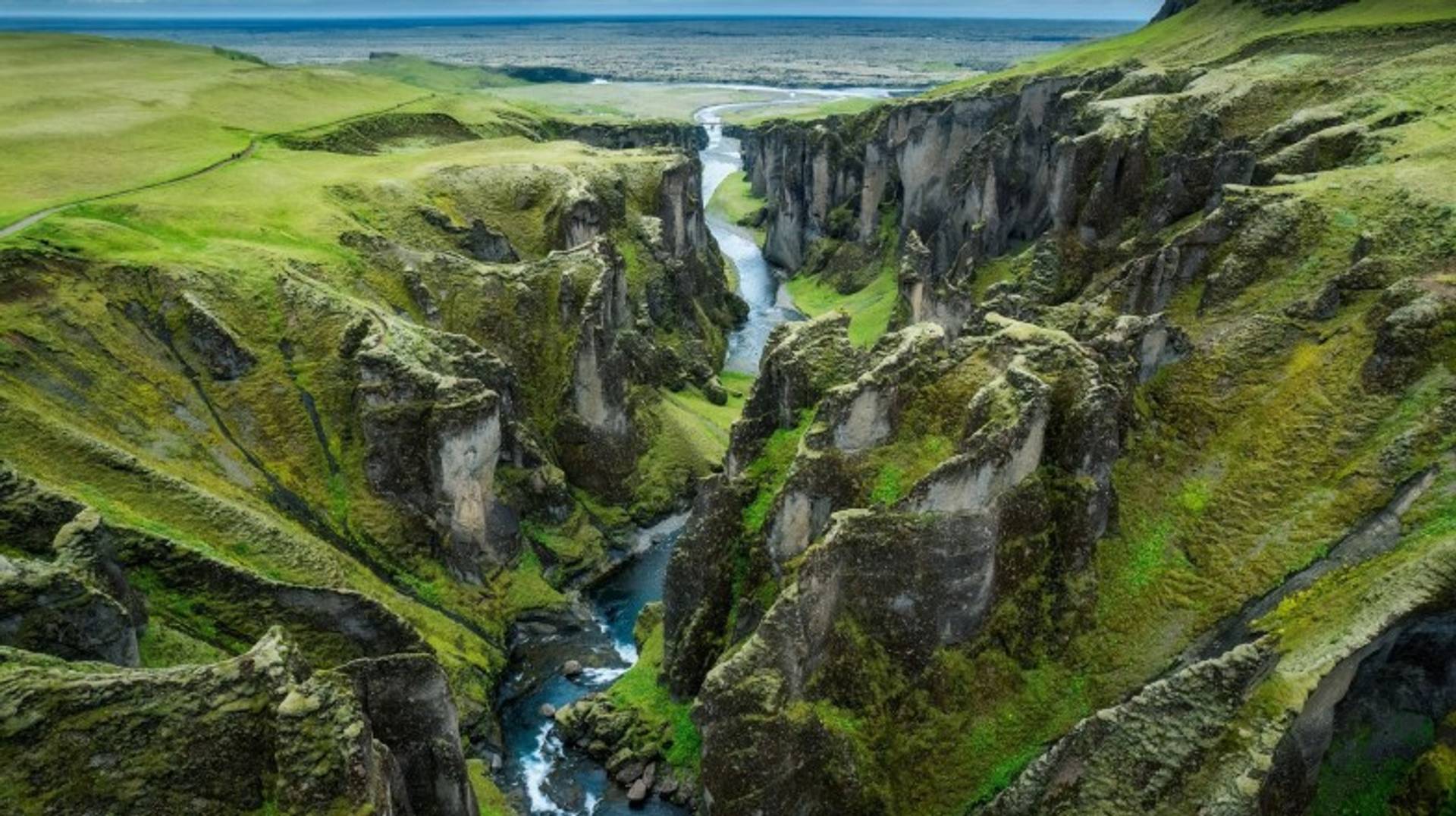
Landmannalaugar Highlights
See also:
Things to know about Landmannalaugar

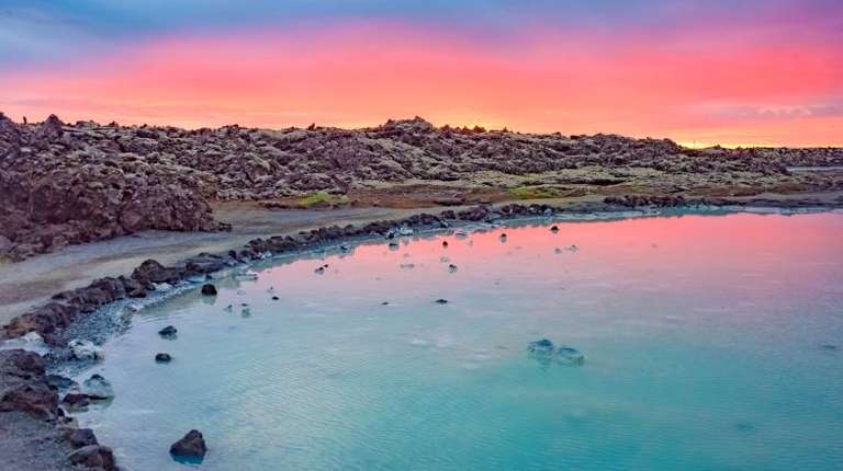
- The area features some incredibly colourful rhyolite mountains – from pink, red, and purple to green and yellow. Be sure to pack your camera!
- Camping is the only form of accommodation available in Landmannalaugar itself. The campsite is comprised of a mountain hut with sleeping arrangement that can fit about 75 people as well as huts for public toilets and public showers.
- In the summer months (June – August), the hut at Landmannalaugar also has a small shop selling basic groceries (including coffee). There, you can also book horse riding tours. This is also the best time to visit this area.
- Many tour companies run regular trips to and from Landmannalaugar between June and September.
- If you wish to visit Landmannalaugar yourself, it is best to rent a car. You will need a 4x4 vehicle. One route to the area is sometimes accessible by normal car but this not advised for rentals as large stones are likely to damage it (and your rental insurance will not cover damage caused by these mountain roads).
- The hiking trails in Landmannalaugar are most accessible during the summer months.
- The area is totally inaccessible between late October and late May.
See also:
Landmannalaugar hiking trails
-
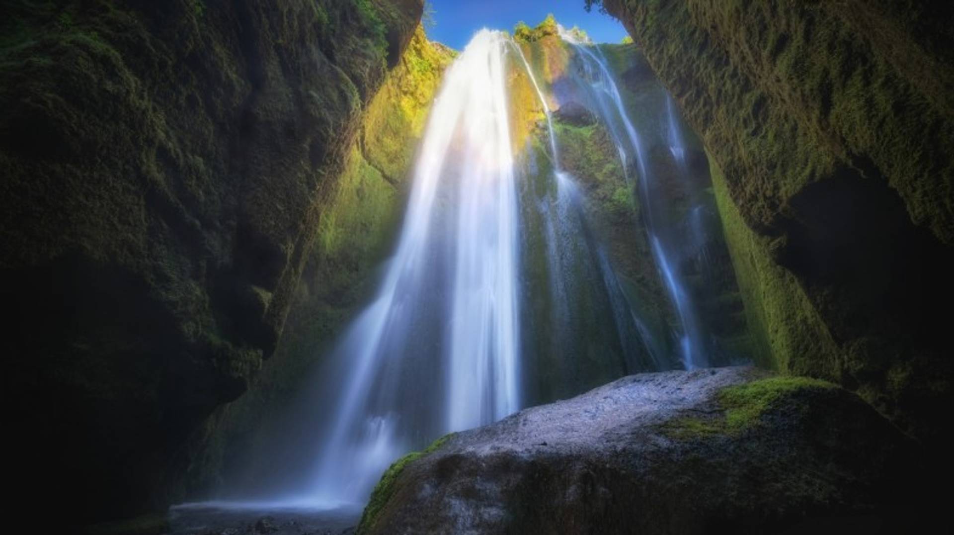
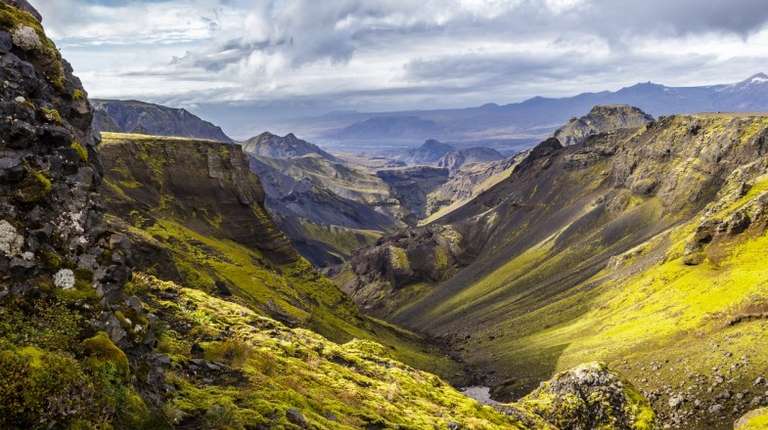
Laugavegur trail

Hot springs from across the landscape invite tired hikers for a break on the Laugavegur trail
The majority of people visiting Landmannalaugar travel via the Laugavegur trail. Technically, this is not a hike because it takes about three or four days to complete. The trail has several huts scattered along the way and bus links at both ends. However, the Laugavegur trail is so popular it is advised to plan your hike and book your space in the huts as far in advance as possible. You can also camp in some areas along the trail. Most people end their hike in Thórsmörk (Þórsmörk); however, if you are feeling adventurous, you can continue one to Fimmvörðuháls hiking trail from here. You can add another one or two days to your hike (24 – 26km) by starting from Skógar, where the end of the trail is sandwiched between the Myrdalsjokull glacier and Eyjafjallajokull glacier. This part of the trail is scattered with hot springs! Read here to find out other exciting hot springs in Iceland.
-
Sulphur Wave trail
This two-hour hike is one of the most popular routes departing from Landmannalaugar, travelling across the Laugahraun lava field to Mt. Brennisteinsalda. This colourful volcanic mountain is covered in yellow sulphur, blue ash, black lava, green moss, and red iron.
-
Trail to the Blue Peak

This short, one to four-hour hike takes you up Mt. Bláhnjúkur, a blue-ish, black-ish mountain covered in lava and volcanic ash. On a very clear day, you can see up to five different glaciers from the top of Mt Bláhnjúkur. The trail leading to Mt. Bláhnjúkur is not difficult but it is steep, therefore, time taken to ascend will depend on your walking pace and fitness level. Towards the end of the trail, you can either hike down to Grænagil canyon or across the Lagahraun lava field. Both are scenic destinations but the path to Grænagil canyon is difficult because it has rocky sections.
-
Ugly Puddle trail
It will take you about four hours to reach Ljótipollur, also referred to as ‘Ugly Puddle Lake’ or ‘Ugly Pond’. Don’t let the name fool you, as this trek is full of incredible views of stunning, colourful hillsides and the deep crater lake itself.
-
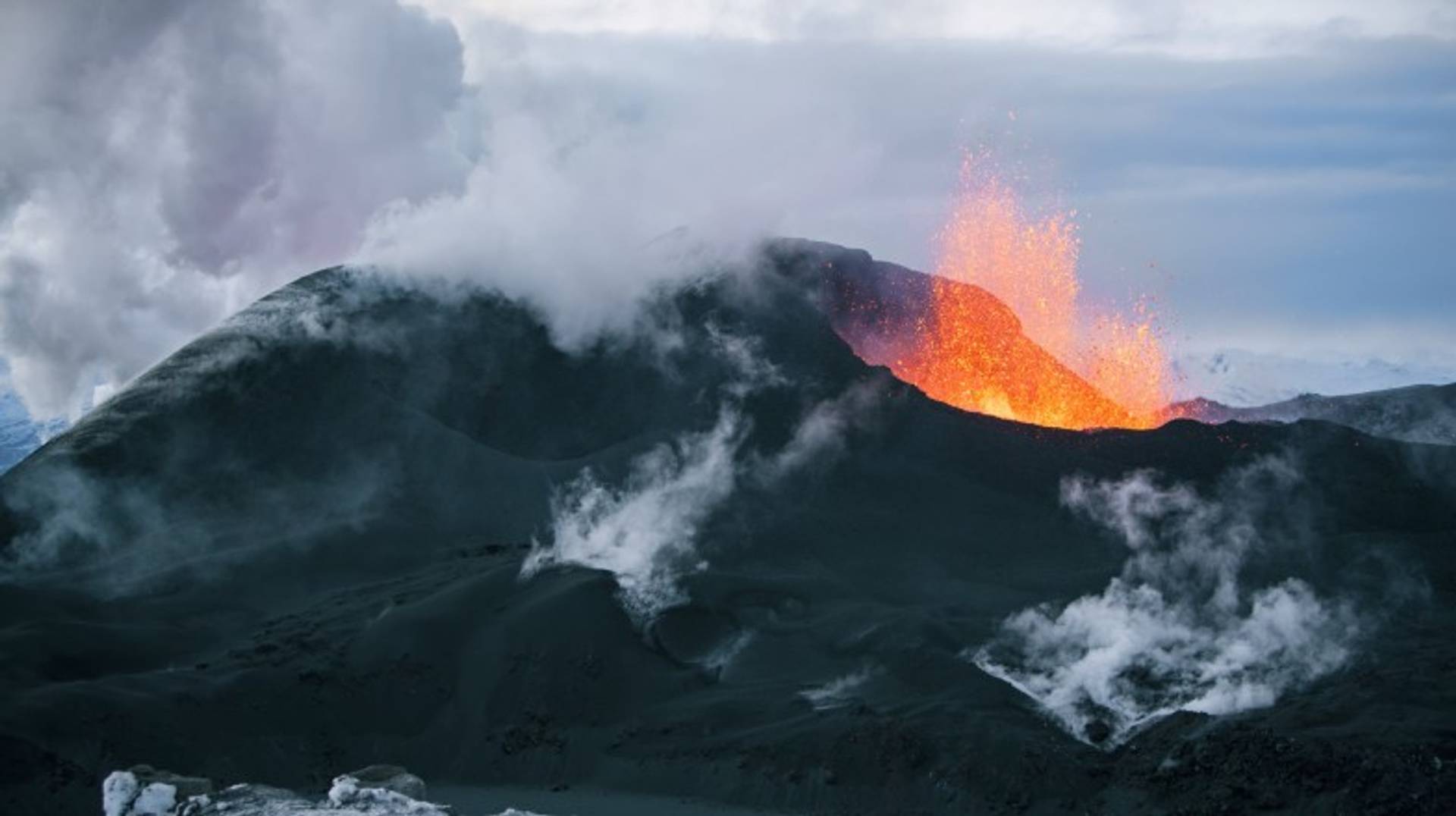
Hellismannaleið trail

The Hellismannaleið trail takes you around the base of Hekla volcano, an active volcano in Iceland, to the Rjúpnavellir lava area.
Like the more famous Laugavegur trail, this is another long, 3 – 4 day trek. The Hellismannaleið takes you from Landmannalaugar, around the base of Hekla volcano, an active volcano in Iceland, to the Rjúpnavellir lava area. On the Hellismannaleið route, you will walk across lava fields, lush green valleys and even get a chance to soak in the geothermal baths.
-
Sprengisandur trail
Perhaps the most desolate hiking trail departing from Landmannalaugar, the Sprengisandur route is about 200 km and takes you across a vast volcanic desert. This is a rather difficult route, with unbridged river crossings and a dry, barren landscape. You won’t get much of a view on the Sprengisandur route, but you will certainly be able to experience the harsh living conditions faced by the Vikings of medieval Iceland. Since the length of the route is very long, you can either chose to trek the entire 200 km for hike certain sections of it.
Other things to do at Landmannalaugar

- Ride an Icelandic horse through areas difficult to visit by foot or car (such as Jökulgil, the Glacier Valley)
- Go fishing for arctic char
- In winter, go cross-country skiing across the volcanic highlands
- Buy groceries from a green 1970s school bus aka the Mountain Mall
No matter which trail you choose to tackle, or even if you simply visit Landmannalaugar as part of a day trip, your visit to the area is sure to be unforgettable.
Written by
When asked to choose between mountains and beaches, I’m the type whose heart consistently gravitates toward the rugged charm and tranquil majesty of the mountains. Having been born and raised in the bustling city of Kathmandu, I only got to breathe-in the crisp mountain air at the age of 25. But after that, I was hooked! And there was no turning back... I find solace and inspiration in the towering peaks and serene landscapes of the great outdoors, and what better place to explore this than at the lap of the highest peaks on earth! Trekking is not just a passion but a pathway to reconnecting with nature, and my ultimate dream is to conquer all the major Himalayan trails. Alongside this love for trekking, wildlife safaris excite my adventurous spirit, offering a glimpse into the raw beauty and untamed life of the wild.
read more

Continue reading Related Guides


Why Book with Bookmundi?
A strict screening process ensures that we only offer high quality, vetted tours and trip packages globally. The result? 4.8 of 5 stars out of more than 25,000 trip ratings.
In most cases, we offer THE best prices. And, you get a Best Price Guarantee for all tours, as long as you redeem it within 24 hours of purchase.Tour prices can vary over time, which is why our Best Price Guarantee is valid for 24 hours—we can only ensure you the lowest price on a daily basis.
Read why
All tours booked through Bookmundi are 100% carbon offset. Every quarter, we invest in carbon reduction projects around the world—at no extra cost to you.
Read how